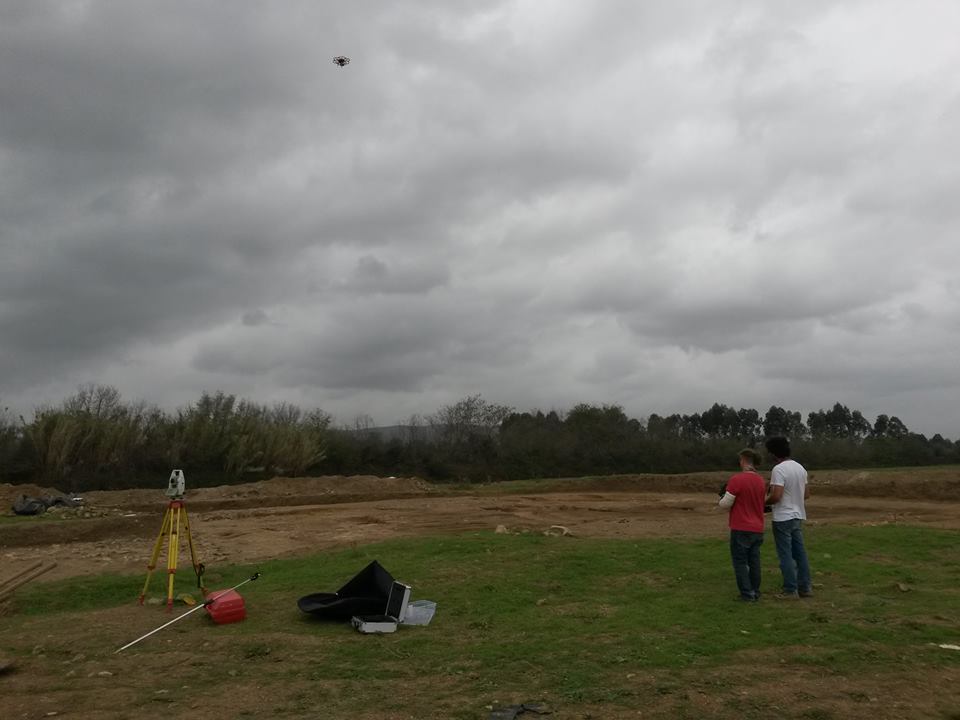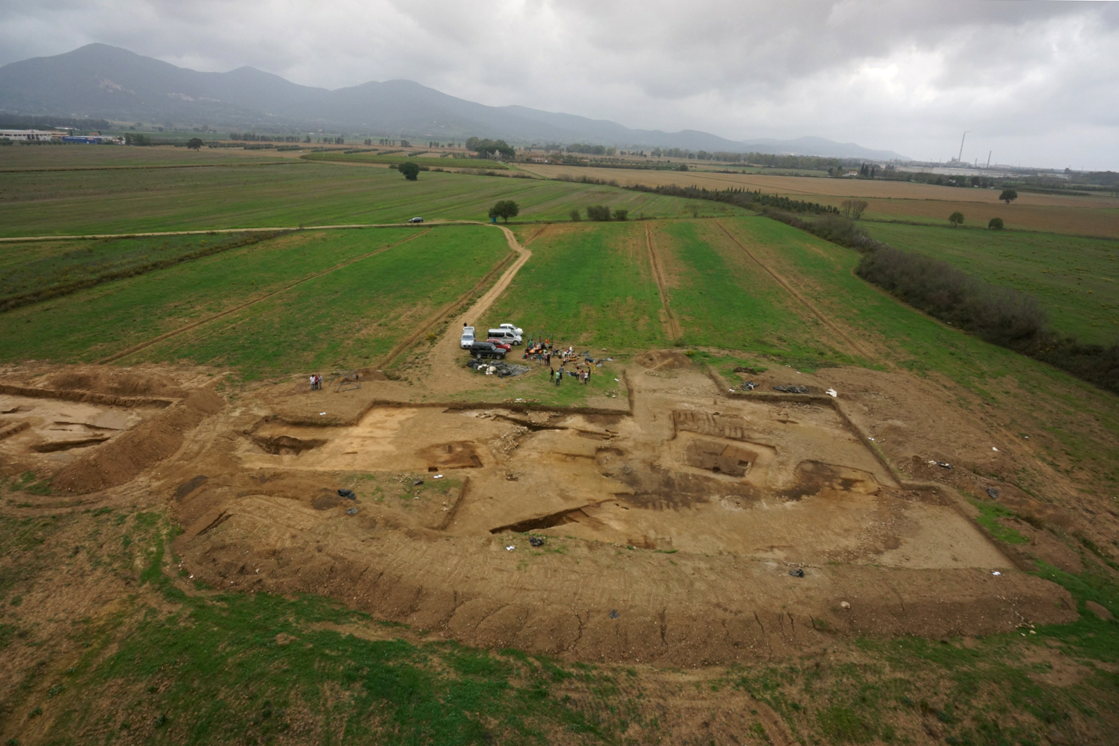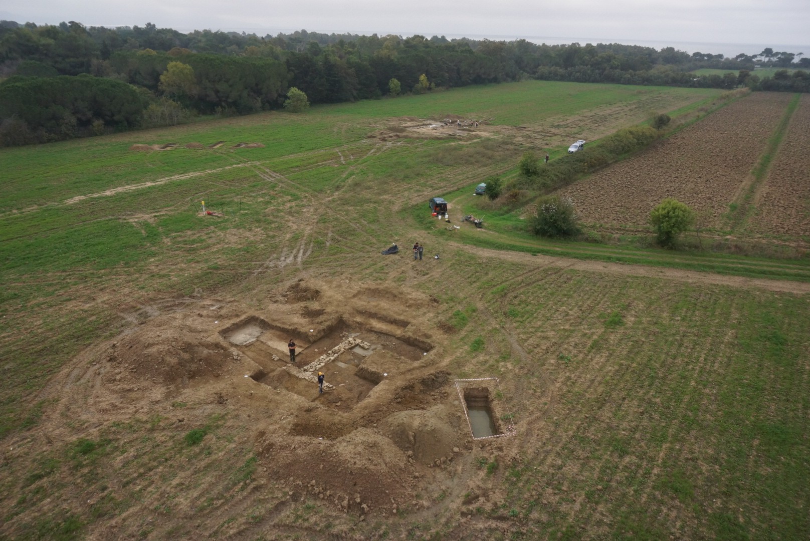

Tuesday 25th October the UAV flight, by ATS srl, has taken place for the 3D recording of Carlappiano (Piombino) and Vetricella(Scarlino) (Fig.1-2). 3D photogrammetry from UAV flight produces a 3D model of the entire excavation area, a fundamental support for performing spatial analysis, measuraments and to extract orthophotos and cross section (Fig.3-4).